 TEKZARO
Pakistan
This Pakistani GenAI Startup Showcases a 3D Digital Map of the Twin Cities
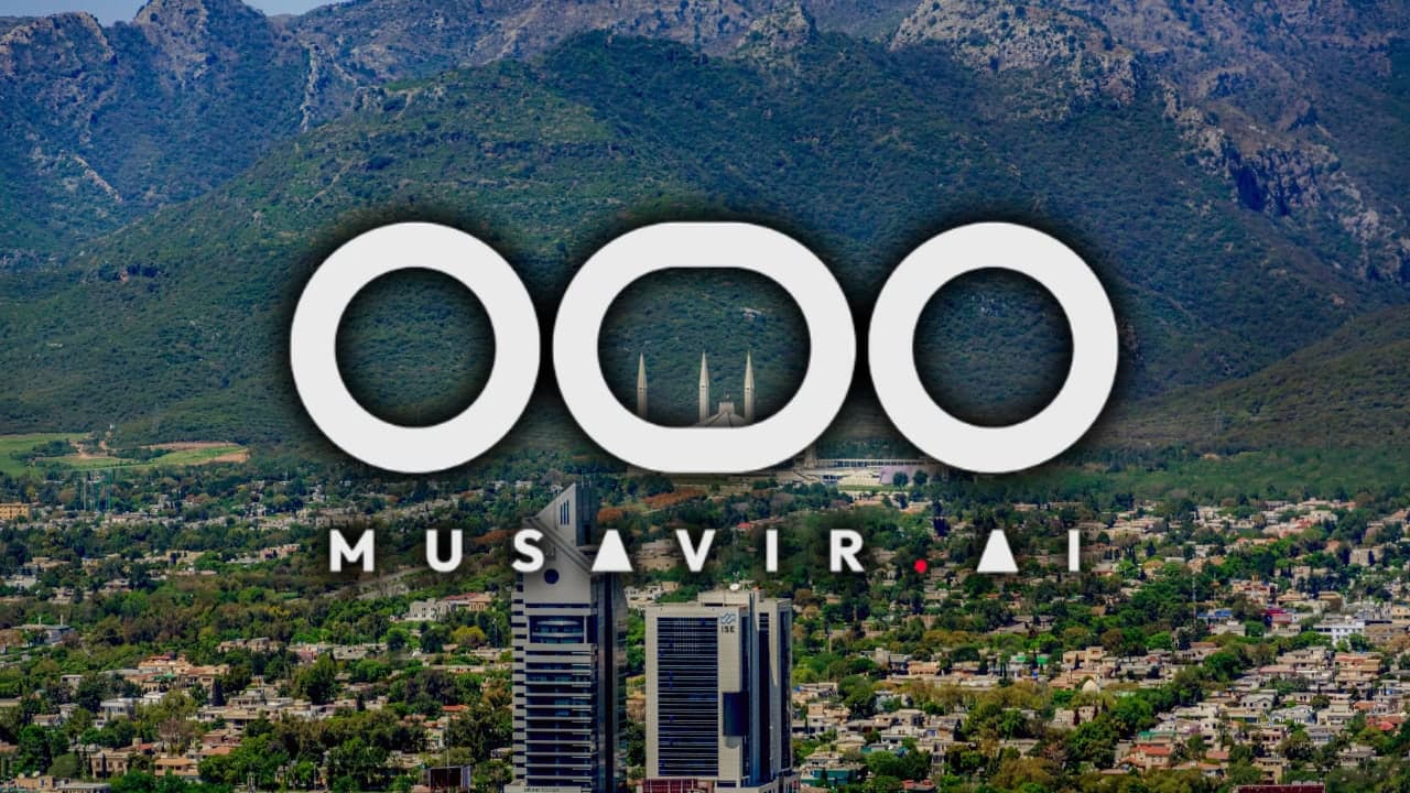
Pakistan’s growing artificial intelligence ecosystem is opening new possibilities for how cities can be visualised, explored and understood. A showcase featuring a three-dimensional digital map of Islamabad and Rawalpindi highlights the potential of combining generative AI with digital mapping technology.
The development puts the spotlight on the potential of locally developed technology to make urban environments easier to explore and interpret through digital experiences.
How 3D Digital Mapping Could Transform Urban Exploration
A 3D digital map can represent buildings, roads, neighbourhoods and other urban features in a more immersive format than a conventional two-dimensional map. Depending on the underlying data and software, users may be able to explore locations from different angles and examine their spatial relationships.
When combined with artificial intelligence, such platforms could potentially make it easier to search for locations, interpret geographic information and interact with complex urban environments.
However, the specific capabilities of the showcased map depend on the features actually demonstrated by its developers. AI integration alone does not establish that a map provides real-time information, precise building measurements or automated urban analysis.
Why Islamabad and Rawalpindi Matter
Islamabad and Rawalpindi form one of Pakistan’s major interconnected urban regions. The two cities have distinct urban layouts but share transport links, commercial activity and residential connections.
A detailed digital representation of the Twin Cities could have potential applications in several areas:
- Urban planning: Helping planners visualise buildings, roads and neighbourhood development.
- Real estate: Giving prospective buyers and investors a more immersive view of locations and surrounding infrastructure.
- Navigation: Supporting more intuitive exploration of streets and landmarks if navigation features are available.
- Infrastructure management: Helping organisations understand the spatial relationships between urban assets.
- Tourism: Offering digital exploration of notable locations and city landmarks.
These are potential applications of 3D mapping technology, not confirmation that every feature is available in the showcased product.
Pakistan’s Broader Digital Mapping Opportunity
Pakistan has already shown institutional interest in advanced geospatial technology. In February 2025, the Associated Press of Pakistan reported that the Capital Development Authority and the Survey General of Pakistan had agreed to strengthen cooperation on advanced 3D maps and high-resolution imagery for Islamabad.
The initiative highlighted the possible role of detailed mapping in urban planning, layout preparation and identifying land encroachments.
A startup-led demonstration of a 3D digital map adds to the wider conversation about how private-sector innovation could contribute to Pakistan’s geospatial technology ecosystem.
What Comes Next?
The broader significance of AI-powered mapping will depend on data quality, geographic coverage, technical accuracy and practical usefulness. Important questions include how frequently the map is updated, whether users can interact with individual buildings, what AI capabilities are integrated and whether the platform is publicly accessible.
Further details about the startup, its technical approach and the map’s available features would help establish how the demonstration differs from existing mapping platforms.
For Pakistan’s technology sector, such projects represent an opportunity to explore locally developed solutions at the intersection of artificial intelligence, geospatial data and urban technology.
FAQ
What is a 3D digital map?
A digital representation of a location that adds depth to geographic features such as buildings and terrain.
Can generative AI create 3D city maps?
AI can support parts of mapping and visualisation workflows, but the results depend on the underlying geographic data, software and validation process.
Is the Twin Cities map publicly available?
Its public availability has not been verified.
Sources
Related Articles